DIRECTIONS
Do not follow Yahoo directions. We are not in the town of Stonefort, IL. If you put our address in your GPS, use Makanda, IL. Just be aware that our address is Makanda but we are not in the town of Makanda. The Makanda zip code covers a very large area, and we are not close to the actual town.
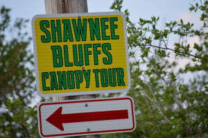
Follow the directions below based on where you are coming from and watch for our large 2 by 2 foot green and yellow (Shawnee Bluffs Canopy Tour) signs and (red arrows) at every major turn.
GPS adjustments:
Our address is 635 Robinson Hill Road-GPS only recognizes the 800 numbers. If you are north of us GPS will try to send you past our large sign on the right. If you are coming from the south, GPS will say you are there but you are not-drive another ½ mile up the hill and our sign into our driveway is on your left.
FROM HIGHWAY 51 IN CARBONDALE
Go south on 51 to Wing Hill Road and turn left at our 2 by 2 foot green and yellow SBCT signs and red arrows. From Pleasant Hill Road on 51 at the south edge of SIU campus you will go 12.1 miles to Wing Hill Road. From the yellow water tower at Makanda on 51, you will go 5.9 miles south or from Rustle Hill Winery you will go south 4.0 miles south and turn left on Wing Hill xRoad. You are now traveling east and will go 4.3 miles to a Y, stay left and turn at our SBCT sign again. You are still on Wing Hill Road. Go 3.1 miles further, ( you may not notice but the road changes names to Hall Church Road) to Sullivan Road and turn left. Look for our SBCT sign again. Go north on Sullivan Road 2.0 miles to our sign on the left. After the 2nd low water crossing, the road becomes Robinson Hill Road. Your GPS only recognizes 800 numbers so come on up the hill about .5 mile to 635 Robinson Hill Road.
EAST EDGE OF CARBONDALE ON HIWAY 13
Go south on Giant City Road 6.4 miles and turn left on Little Grassy Road. We have a big 3 by 5 foot sign on the left. If you are on Giant City Road at the intersection of Pleasant Hill Road you will go south 4.1 miles to Little Grassy Road and turn left. You will travel east 2.8 miles to Rocky Comfort Road and turn right (look for our 2 by 2 foot SBCT signs and red arrows). At 1.8 miles the road Y’s ( again look for the SBCT sign) stay to the right and travel 3.0 miles to Panther’s Den Road. Turn left at the SBCT sign (ignore your GPS because it wants to send you past this intersection). From here you will go about 3.1 miles to our driveway on the right.
FROM Carterville and Herrin
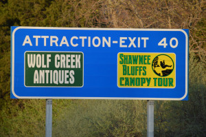
Go south on 148 to Interstate 57 and go south on 57 to exit #40. Go right at the top of the ramp and follow our 2 by 2 foot yellow and green SBCT signs and red arrows at every turn into our parking lot.
FROM Int 24 from Paducah,KY.
Follow our signs and get off at exit# 7 and go west on Tunnel Hill Road. This road dead ends into Hiway 37. Go right into Goreville. At the bank, look for our 2 by 2 foot sign in front of Family Dollar and turn left. We are about 8 miles west from Goreville. At every turn you will see our yellow and green SBCT signs and red arrows.
FROM ANNA
On 146 at the east edge of town, turn left onto Lick Creek Road which is right in front of Subway. Travel 8.9 miles to Hall Church Road and go left (look for our green and yellow 2 by 2 foot signs and red arrows. Go left .3 mile and turn right onto Sullivan Road at our sign. Go north and you will cross two low water crossings. At the second water crossing stay to the right, Sullivan road becomes Robinson Hill Road. Continue another ½ mile up the hill and you will see our big sign on the left.
FROM EXIT #36 OFF int 57
Go west on Lick Creek Road and turn right onto the first road to the right which is Hall Church Road. You will start to see out yellow and green signs with red arrows. Go .3 mile and turn right onto Sullivan Road at our sign. Go north and you will cross two low water crossings. At the second water crossing stay to the right, Sullivan becomes Robinson Hill Road. Continue another ½ mile up the hill and you will see our big sign on the left.
GPS adjustments
If you use your GPS make sure you put in Makanda and not Stonefort. If you are on Robinson Hill Road, GPS only recognizes the 800 numbers. We are at 635 Robinson Hill Road so if you are north of our large sign on your right, GPS will try to send you further south past our driveway. If you are coming up from the south, GPS will say you are there but you need to come up the hill another ½ mile. If you are on Interstate 57 coming from the north, get off at exit #40 instead of exit #36.


